SMS Overland (Show Me State Overland) is a group created to promote overlanding in Missouri. The goal is to help keep the trails clean and open while having a good time exploring them, sharing stories of your trips, making connections, and getting people involved!
Adventure is out there!
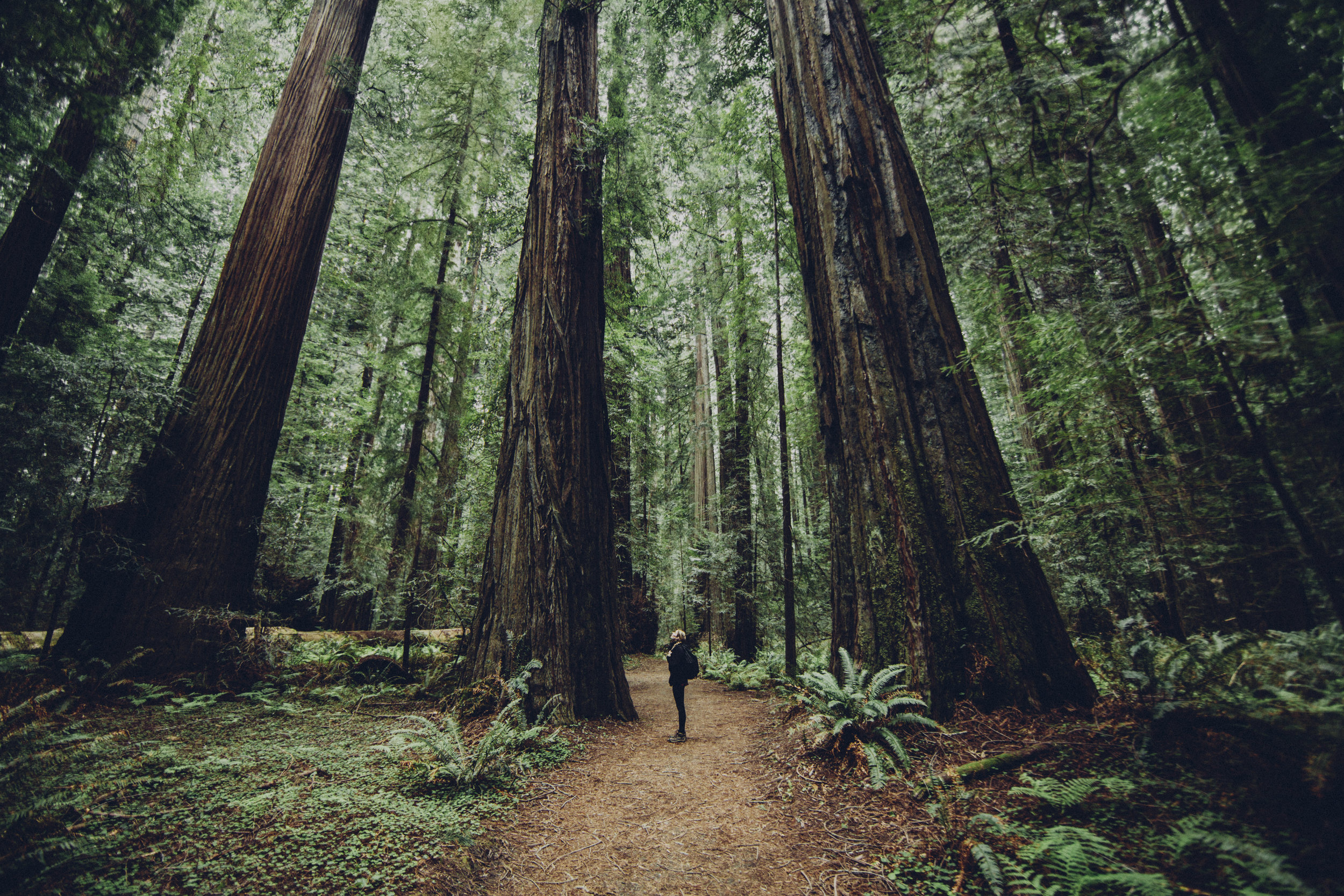
Mark Twain National Forest.
Encompassing 1.5 million acres of beautiful public land in 29 counties in Missouri. The forest has over 750 miles of trails for hiking, horseback riding, mountain biking, and motorized use. Sections of the Ozark Trail wind through the forest. More than 350 miles of perennial streams, suitable for floating canoeing and kayaking, meander through its canopied expanses. Our campgrounds offer visitors a variety of forest experiences, including semi-primitive and wilderness camping for solitude.
Sunkland Conservation
With roughly 40,000 acres of public land, the Sunklands CA provides for a wide range of outdoor activities. These include nature viewing, bird watching, hiking, dispersed primitive camping, and hunting and fishing opportunities.
Ozark National Scenic Riverways.
There are 318 miles of roads within the park, most of which are secondary public roads and backcountry roads or traces. There are numerous road access points along both the Current and the Jacks Fork Rivers. State Highway 19 and US Highway 60 provide the primary road access into the area.
Angeline Conservation.
The Angeline Conservation Area lies north of the Jacks Fork and west of the Current River. The 39,590-acre area is north of Eminence and extends 15 miles west to near Summersville. Numerous small springs, seeps and sinkholes are found on the area due to the karst topography. Clow, Alley Spring and Flat Rock conservation areas and the Kerr-McGee purchase were combined to create this single conservation area. Points of interest include a scenic overlook on Highway 19, the Eminence Office, Bay Branch Shooting Range, Flat Rock Lookout Tower, Lick Log Hollow Nature Trail a one mile interpretive hike and a day use Equestrian loop trail system that is 9.5 miles long.
Glade Top - Scenic Byway.
The Glade Top Trail is little changed from the original road constructed by the Civilian Conservation Corps in the late 1930’s. For twenty-three miles, the two-lane, all weather gravel road follows narrow ridge tops rising approximately 500 feet above the surrounding rolling countryside, and overlooks and passes through many limestone/dolomite glades interspersed with open and closed woodlands.
Roger Pryor Back Country.
Solitude reigns in the Roger Pryor Pioneer Backcountry, a 60,000-acre tract adjacent to Echo Bluff State Park. The backcountry is part of Pioneer Forest, which is owned by the L-A-D Foundation. It is Missouri's largest privately owned forest. The foundation donates its lease of the more than 50 miles of the Trails of the Roger Pryor Pioneer Backcountry to the Missouri Department of Natural Resources for the enjoyment of visitors to Missouri State Parks.